Tuesday August 27, 2013
I think it’s safe to say that that Matt and I are pretty big history buffs. Â Not in the pouring over books and articles kind of way, but the ‘I can’t keep my eyes off The History Channel’ back when we had cable kind of way. Â We were always mesmerized by the shows, especially the ones relating back to events or structures that were many hundreds or even thousands of years ago. Â The Nazca Lines had appeared on a few of those shows that had captivated us and we had always thought, “Man, that would be so cool to see!”, but was just as suddenly followed by the thought of ‘When the hell would we be in whatever desert in the middle of nowhere that those are in?’. Â Well, it turned out that desert in the middle of nowhere happened to be in southwest Peru, and we also happened to be passing through it anyway on our way to Cusco and Machu Picchu.
If you’re not familiar with them, the Nazca Lines are a series of ancient biomorphs and geoglyphs in the Nazca desert, and were created by the Nazca culture sometime between 200 and 650 AD.  Throughout the desert are a total of over 900 images in shapes ranging from animals such as a monkey, a hummingbird, and a spider; to plant figures (the plants and animals make up the biomorphs); to geometric forms including triangles, spirals, and trapezoids (the geometric forms make up the geoglyphs).  These figures are so large and hard to make out from the ground that they weren’t widely known to our current culture until the 1930’s when they were flown over by aircrafts.  To give a reference to the size, there is a 1,000 ft  pelican, and the longest straight line among the forms stretches out nine miles across the desert.
Originally, we had intended to take a flight over the lines to get the best possible viewing of them, as well as to try and see as many as possible since overall they spread 37 miles across the desert. Â Waking up in the morning though, the sky was quite overcast, and we’d read that a cloudy sky can make the lines very hard to see from a plane. Â (Plus, overall reviews of the flights lately haven’t been that good) Â Instead, we talked to the owner at our hostel who was able to set us up on a private tour. Â For around the cost of $40, she hired us an English speaking guide that, in his own car, would take us to three overlooks and one museum.
First stopping off at a local restaurant for lunch, we tried a Peruvian meal which even though I can’t remember the name of it now, ended up being three pieces of fried chicken and a ton of rice. Â To wash it down, we tried our very first pisco sours, which at the cost of $2.50, was actually the same as our meal. Â I really think I could get down with the cheap cost of food here in Peru. Â Anyway, moving on. Â Our tour guide picked us up right in front of the hostel and was a very nice guy that spoke very nice English. Â He told us he’s been doing these tours for 10 years now, and just to cater to the large diversity of people that visit, has learned five languages to be able to conduct his tours! Â Almost makes me feel useless that I can’t master one on top of my own.
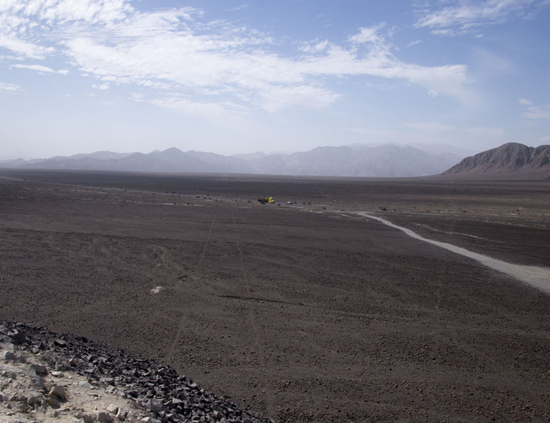
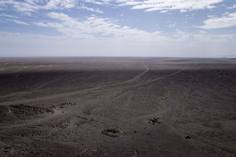
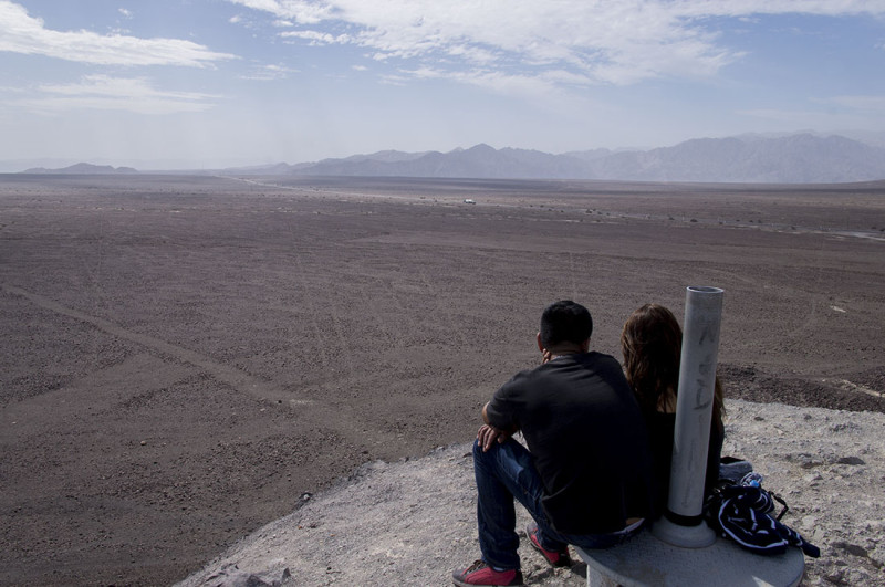
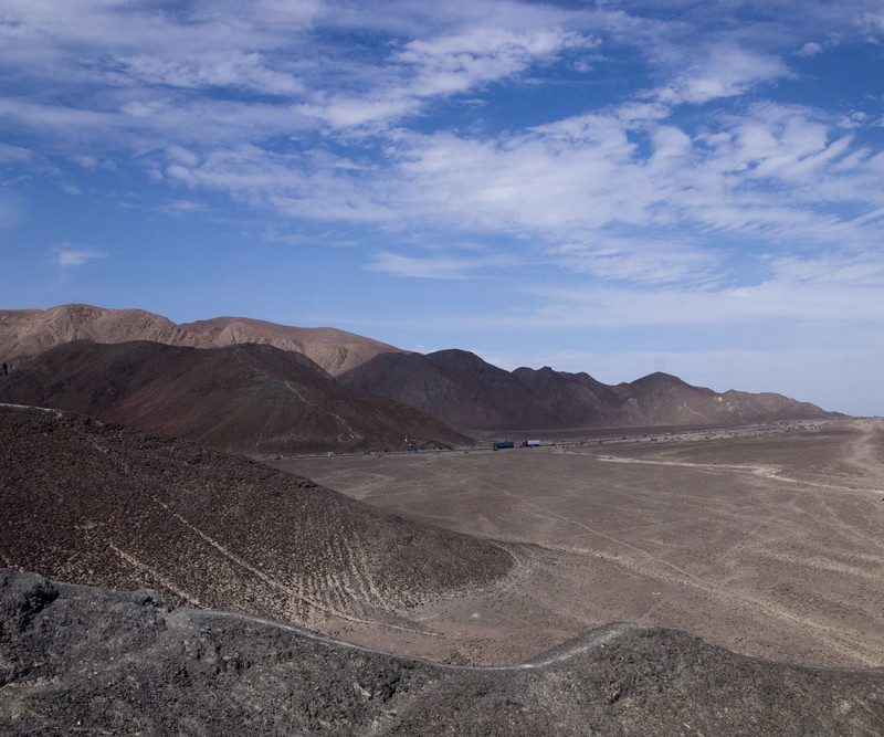
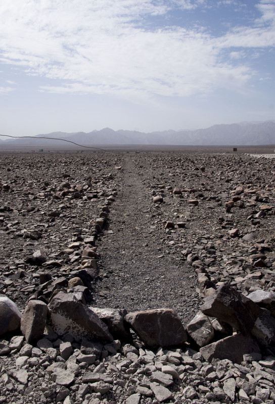
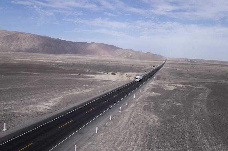
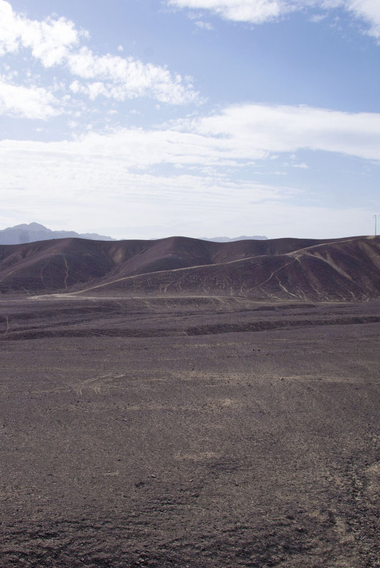
The first place we were taken were a set of hills just off the Pan American Highway. Â Before we climbed to the top to view a few of the lines passing by us, our guide explained how they were originally made. Â This area of desert is composed of reddish iron oxide covered pebbles, which when brushed aside, unearth white colored sand underneath. Â It would seem questionable on how these lines would have survived this long without getting washed out or blown away in the wind, but there are two reasons we can still see them today. Â One is, that in this particular area in the world, there is basically no wind, and no rainfall. Â Less than a half an inch a year actually. Â The other reason is that in the mid 1900’s, a restoration project was started where members of the team would walk through with brooms and brush new rocks off the existing lines, once again unearthing the white sand.
Two parallel lines running across the desert.
Many odd lines running through the sand.
Close-up of a Nazca Line
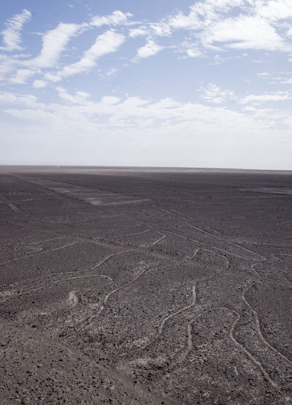
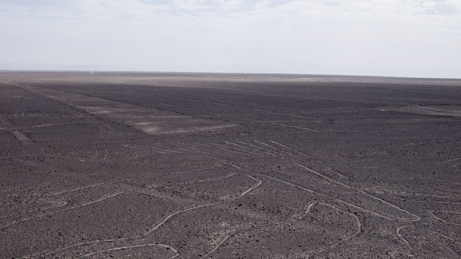
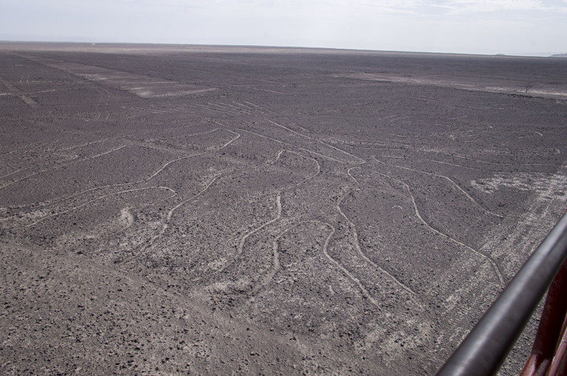
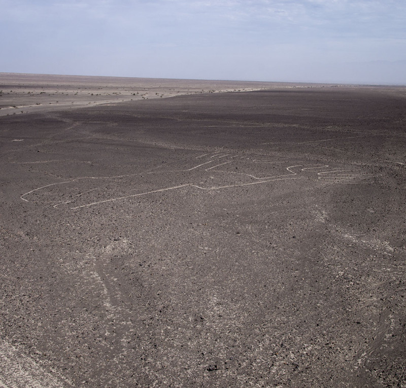
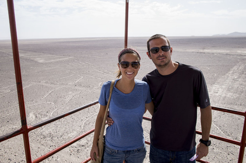
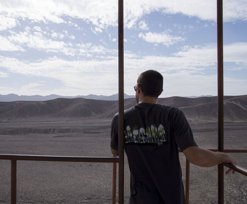
Our next stop along the way was a tall viewing platform called the Mirador Tower. Â This was a tall and rickety set of metal stairs that led to a platform about three stories high, from which you can clearly see three images of the Nazca Lines. Â The frog, the tree, and the lizard. Â Paying a small fee, we climbed the steps and were treated to much better views of shapes we could actually make out. Â To our left was the frog, which doesn’t really look too much like a frog, and is probably why it’s also referred to as ‘the hands’. Â To our right was the tree, which instead of showing a trunk with branches or leaves, focused more on the trunk and the roots flowing underground. Â The lizard was slightly more off if the distance and we could only make out the tail, which was a very long triangle to us. Â Even though we weren’t able to take the flight, I was happy with what we were able to see from the tower. Â Plus, at the bottom there was a guy selling stones from the desert where he’s carved shapes of the lines in to them. Â For just a couple of dollars we picked up a few keychains with shapes of the hummingbird and the monkey carved into them. Â Because one day down the road we’ll own a home or a car again, right?
 The frog, …. or hands.
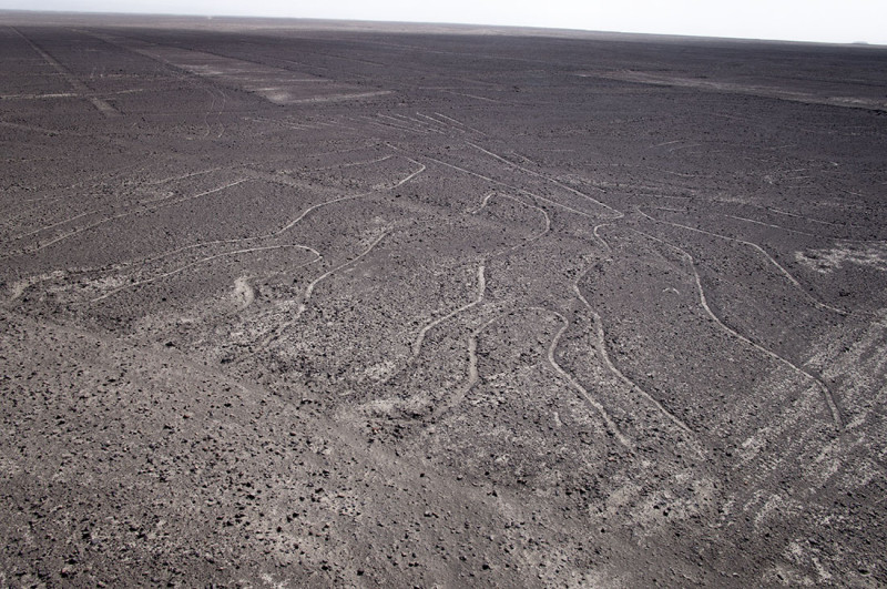 The tree, with the tail of the lizard above it.
 There was one more viewing tower our guide was taking us to, but this one did now show lines in the desert. Â Instead, it showed four figures of people in a hillside. Â Our guide explained that the one shown with the wide eyes was depicted at the chief of a tribe. Â The wide eyes were supposed to signify that he had taken a hallucinogen and were having an out of body experience. Â These figures had also just undergone a restoration in the past 20 years.
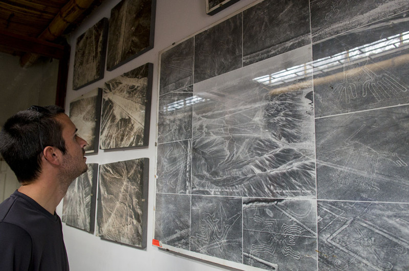
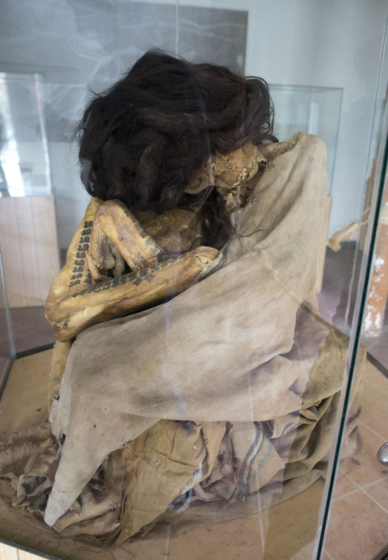
The last stop our guide took us to that day was the Museum of Maria Reiche. Â She was a German anthropologist that dedicated her life to the study and restoration of the Nazca Lines. Â From the 1940’s until her death in 1998, she worked on mapping and studying the lines, even convincing the Peruvian Air Force to make aerial photographic surveys. Â The museum shows these photos on display, along with the sparse living conditions Maria endured while living there. Â Most of her time was spent cooped up in a dirt room floor that consisted of a bed, a stove, and a desk. Â The other part of the museum was a display of artifacts that had been exhumed from nearby areas. Â Most were very well preserved pieces of pottery, but the one that surprised us the most was a fully intact pre-Inca mummy. Â It sat in the center of the room in a glass case, and as we stared at it in wonder, our guide made sure to point out things like the long thick hair which was still intact, and the tattoos running up the arm.
We never did get to wander through a burial ground/cemetery out in the desert, which we’ve heard from others is the next best thing to see here after the lines. Â I guess there are just random bones and skulls lying around in the sand, and it’s easy to walk right across them if you don’t watch your step. Â Oh well, next time I guess. Â I still think we got a lot in and we’re happy with the day we spent here in Nazca.

[…] a few days of seeing what Lima had in store for us we hopped an overnight bus to end up at the Nazca Lines and took a full tour there before riding another overnight bus to the snow capped crests of […]